UN
5 Claytongate
£ 125,000
Description
We don't have a Description for this property.
- Bedrooms
- 2
- Bathrooms
- 0
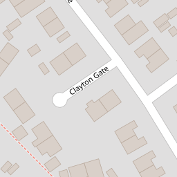
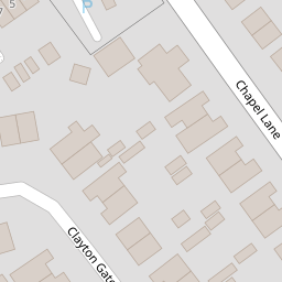
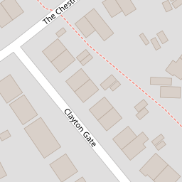
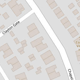


Leaflet © OpenStreetMap contributors
The heatmap indicates the level of crime in the area. The color of the heatmap indicates the crime severity and recency.
Metrics Year-on-Year
- Average area value
- 515,185.00 £Decreased by 4.78 %
- Average area rental value
- 2,323.00 £/moIncreased by 26.66 %
- Est rental Yield
- 5.41 %Increased by 32.92 %
- Crime Rate
- 7.00 %Unchanged by 0.00 %
from 541,026.00 £
from 1,834.00 £/mo
from 4.07 %
from 7.00 %
Nearby Schools
| Name | Type | Ofsted | Distance |
|---|---|---|---|
| Coppull Parish Church Of England Primary School | Voluntary Aided School | Good | 0.28 KM |
| Coppull Children'S Centre | Children's Centre | 1.39 KM | |
| Coppull Primary School And Nursery | Community School | Good | 1.42 KM |
| Southlands High School | Academy Converter | 1.73 KM | |
| St Oswald'S Catholic Primary School, Coppull | Voluntary Aided School | Good | 2.15 KM |
Images
Nearby Streets
| Name | Average Price | Average Sqft | Distance |
|---|---|---|---|
| Railway Gardens | £ 0 | 0 | 0.00 KM |
| Springfield Road | £ 185,000 | 0 | 0.00 KM |
| St. Oswalds Court | £ 274,995 | 0 | 0.00 KM |
| The Copse | £ 476,663 | 0 | 0.00 KM |
| Tan Yard Close | £ 0 | 0 | 0.00 KM |
Nearby Transport
| Name | NLC | TLC | Distance |
|---|---|---|---|
| Chorley | 2745 | CRL | 4.12 KM |
| Euxton Balshaw Lane | 2080 | EBA | 4.32 KM |
| Buckshaw Parkway | 7501 | BSV | 5.28 KM |
| Adlington (Lancashire) | 2641 | ADL | 5.75 KM |
| Gathurst | 2397 | GST | 8.73 KM |
Nearby Listings
| Address | Price | Type | Score | Distance |
|---|---|---|---|---|
| Claytongate, Coppull | £ 209,995 | BUY | Unknown | 0.01 KM |
| Claytongate, Coppull | £ 250,000 | BUY | Unknown | 0.06 KM |
| Claytongate, Coppull, PR7 4PS | £ 185,000 | BUY | 8 / 10 | 0.10 KM |
| Chapel Lane, Coppull | £ 200,000 | BUY | 6 / 10 | 0.11 KM |
| Claytongate, Chorley | £ 239,995 | BUY | 7 / 10 | 0.11 KM |
Nearby Properties
| Address | Price | Distance |
|---|---|---|
| 15 Claytongate | £ 132,000 | 0.00 KM |
| 69 Claytongate | £ 180,000 | 0.00 KM |
| 5 Claytongate | £ 125,000 | 0.00 KM |
| 65 Claytongate | £ 145,000 | 0.00 KM |
| 47 Claytongate | £ 77,500 | 0.00 KM |